Morrocoy National Park lies on the east coast of Falcón State and the north-west side of Golfo Triste, on the west central Venezuelan coast, near the towns of Boca de Aroa, Tucacas, Sanare, Chichiriviche, and Tocuyo de la Costa. It was declared a national park on 26 May 1974. The park’s wildlife has suffered from human activity, and there has been a significant decline in coral species in recent years.
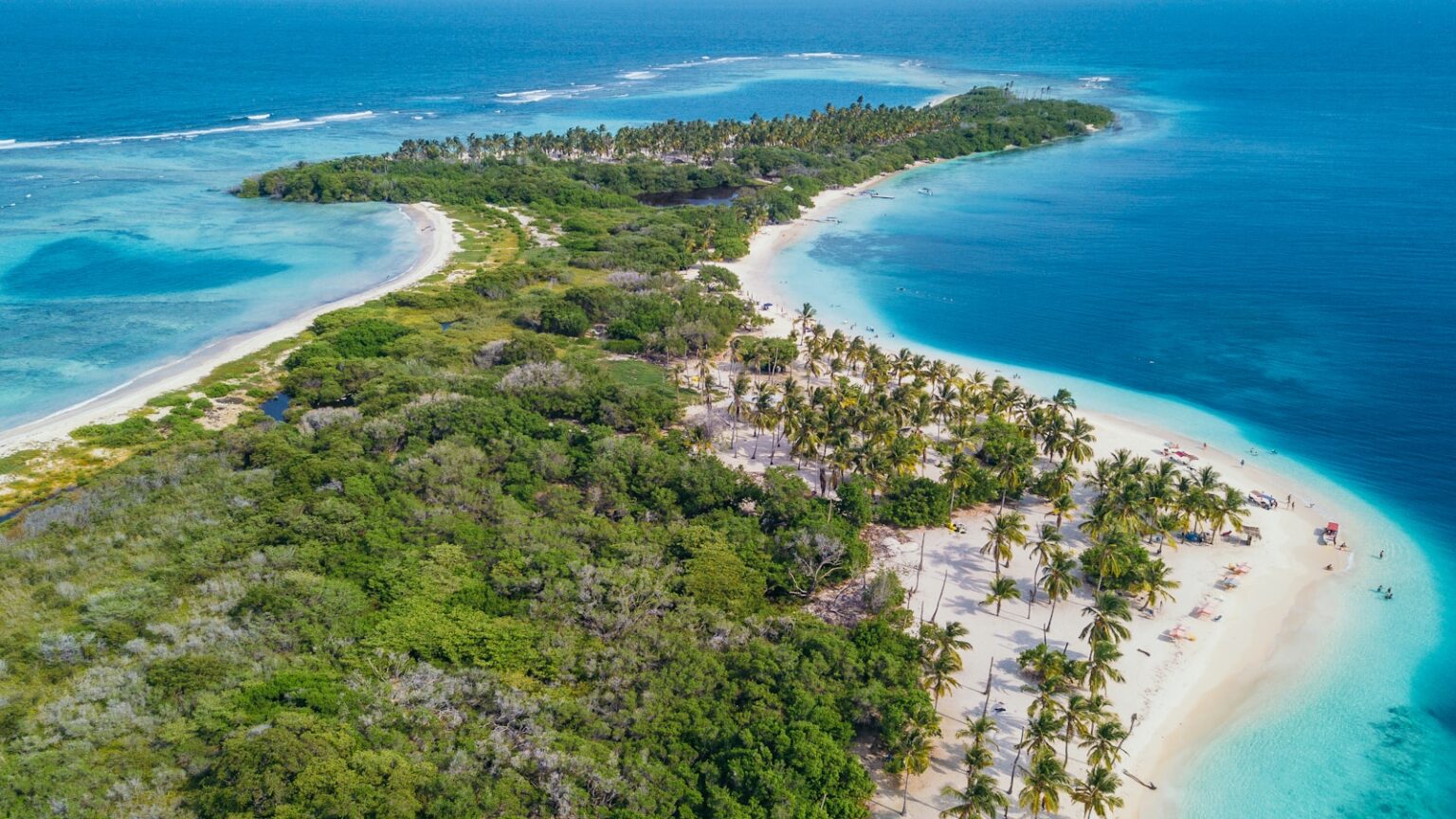
The park extends across both terrestrial and aquatic areas of Golfo Triste. It covers 32,090 ha (79,300 acres). It contains an area of mangroves and numerous islets or cays, including Borracho, Muerto, Sombrero, Sal, Las Animas, and Peraza. White sand beaches on these cays include Mero, Paiclas, Los Juanes, Playuela, Tucupido, Azul and Boca Seca.
The park’s bays, mangroves, cays and islands sit in the shadow of the Chichiriviche hills, with elevations up to around 250 m. At 285 m high, Chichiriviche Hill is the highest point in the park. It stands amid the surrounding coastal environment of Tertiary-period coral origin, belonging to the Capadare – Agua Linda limestone geological formation.